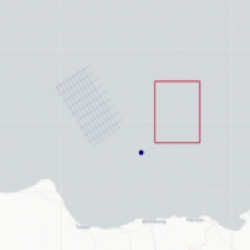
GTN GIS Basemap is a launcher to access and visualize seismic and well data based on its location retrieved from the header. GTN GIS Basemap is an interactive interface that responds to mouse click to select-unselect: single seismic line, composite line (zig-zag), seismic 3D polygon, and well points. Panning, Zoom-In, Zoom-Out, and Data Tooltips are attributed to the package.
